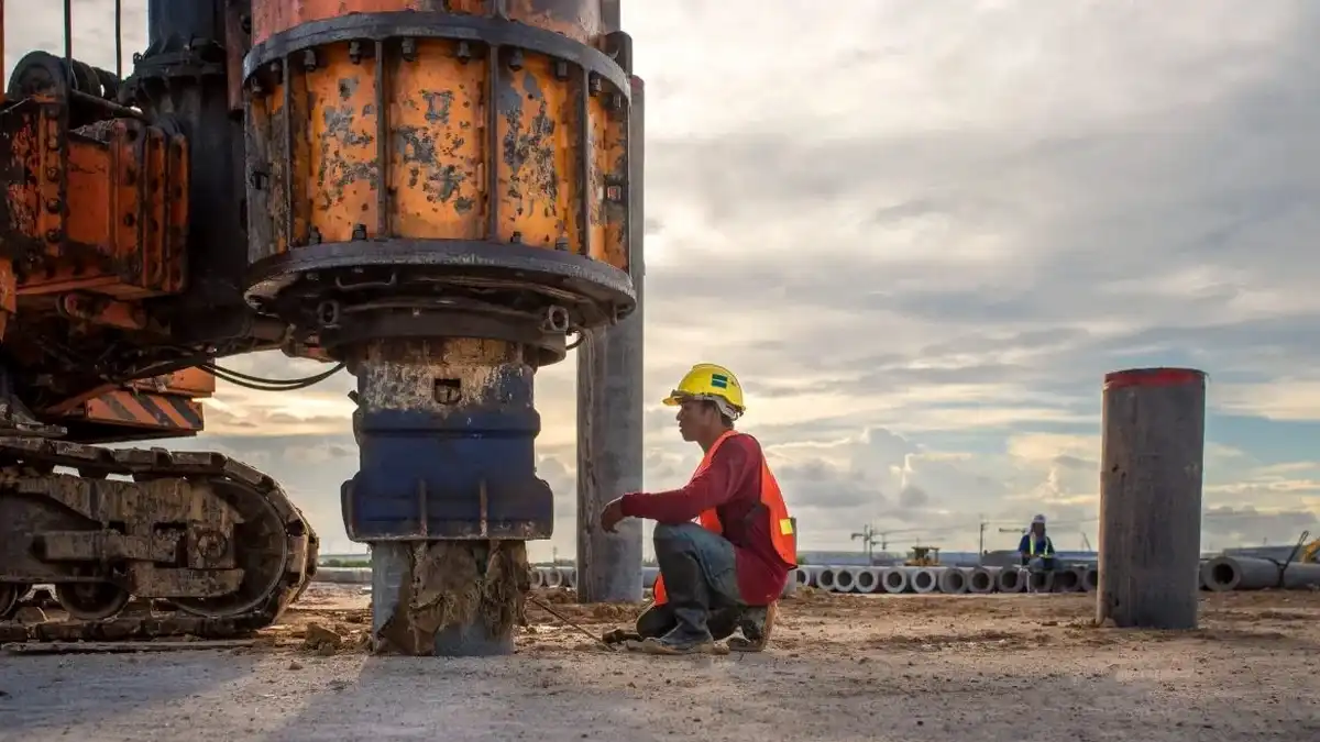
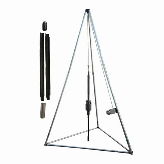
The limestone valleys and weathered shale slopes that define Huntsville’s terrain demand more than a textbook approach to subsurface investigation. With a population exceeding 225,000 and construction activity spreading into areas underlain by the Tuscumbia Limestone and Fort Payne Chert, the standard penetration test remains the first line of defense against foundation surprises. The U.S. Geological Survey maps show significant solution-channel development across Madison County, which means borings can encounter voids, pinnacled rock, or soft clay-filled depressions within a few feet of competent limestone. When we mobilize a drill rig to a site in Huntsville, we are looking for exactly those transitions—the kind that turn a routine excavation into a change-order dispute if nobody documented them beforehand. Our approach integrates ASTM D1586 procedures with local geological judgment, because a blow-count number without context is just a number. The SPT provides that context when paired with continuous sampling and careful logging of recovery, moisture, and refusal depth across the karst-prone formations that underlie much of the city.
A blow count without continuous sampling and geological context is just a number—Huntsville’s karst terrain demands both.