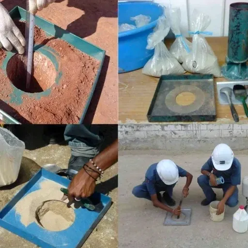
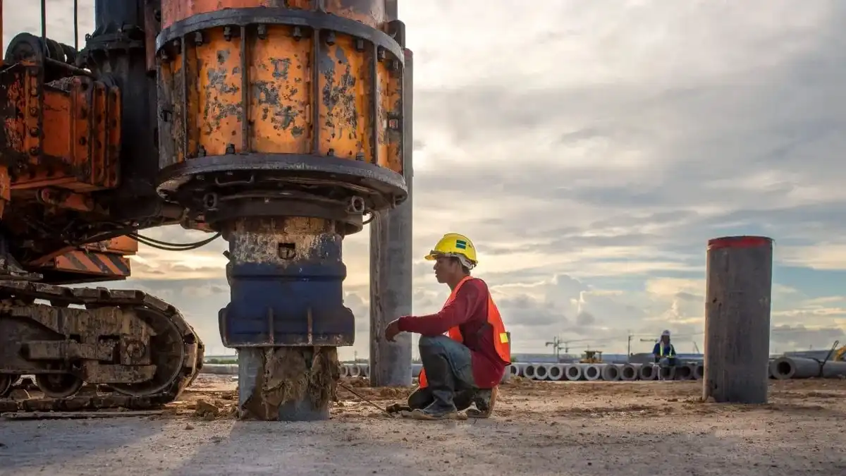
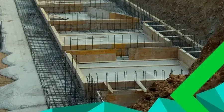
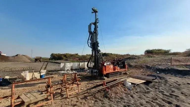
A common mistake we see in Huntsville is assuming the residual clay extends uniformly across a parcel. Builders break ground and hit limestone pinnacles or chert float that wasn't on the desktop study. The result is a backhoe sitting idle and a change order nobody budgeted for. We run exploratory test pits specifically to catch those transitions early. Our crew logs strata per ASTM D2487, photographs each bench, and flags anything that contradicts the geotechnical baseline. In karst-affected terrain like Madison County, skipping this step turns a straightforward footing excavation into a very expensive surprise. For deeper refusal verification we often pair the pit program with sondaje SPT so the structural engineer has both a visual profile and blow count data across the site.
Seeing the soil profile in full daylight removes the guesswork: you get joint orientation, moisture, and fill contacts all at once.