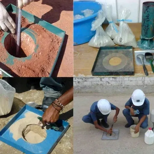
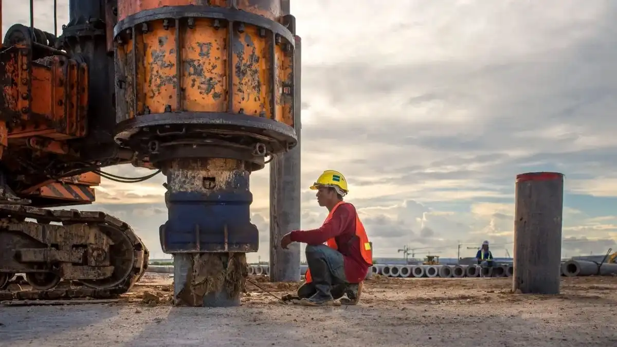
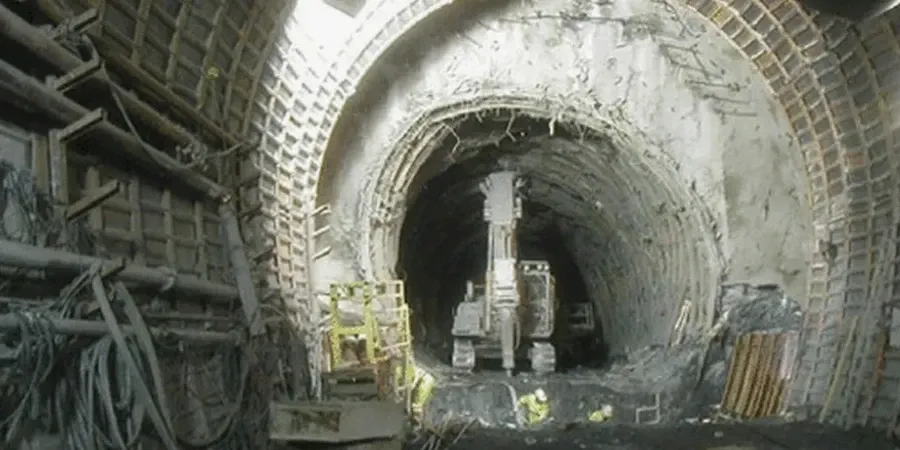
In Huntsville, the subsurface conditions along the Tennessee River Valley often present a complex mix of residual clays, weathered limestone, and solution cavities that challenge any tunnel design. The local geology, shaped by the Mississippian-age Fort Payne Chert and Tuscumbia Limestone formations, means that a standard borehole program rarely captures the full picture. Our technical staff focuses on characterizing the soft ground behavior at tunnel depth, where decomposed rock can transition from a stiff clay to a flowing material within a few vertical feet. This demands a rigorous field investigation paired with laboratory index testing to define the plasticity and consolidation potential of the native soil. For deeper alignments crossing under the Wheeler National Wildlife Refuge area, understanding the pore pressure regime is equally critical to predicting face stability during excavation. We integrate site-specific data with CPT testing to refine the stratigraphic profile in near-continuous detail before any tunneling method is selected.
Defining the transition from residual soil to competent rock dictates the entire tunneling strategy in Huntsville's karstic terrain.